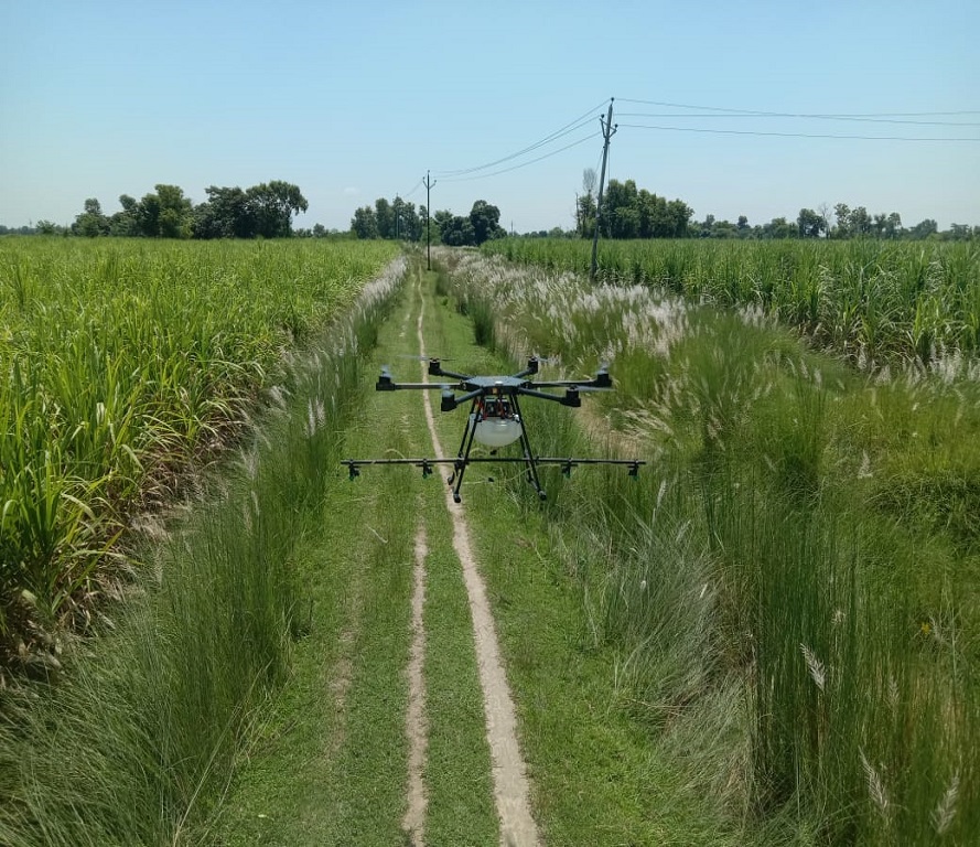
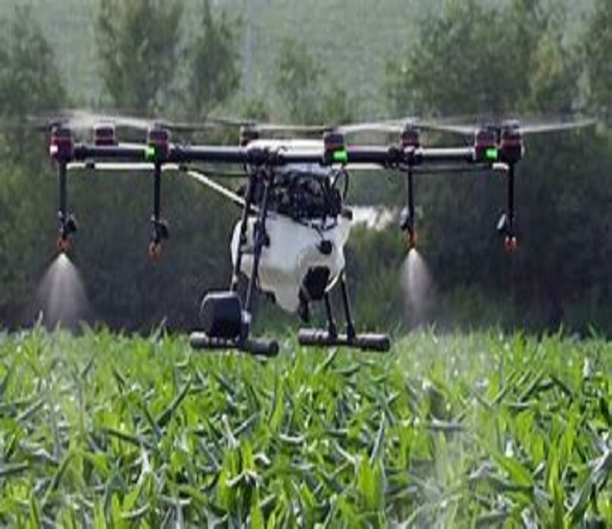
Drones are revolutionizing the way farmers manage their crops and land. With drones, farmers can access real-time data and aerial views of their fields, enabling them to monitor crop health, detect pests and diseases, optimize irrigation and fertilization, and increase yields..
Agricultural surveys can help with soil conservation and irrigation and drainage canal alignments. The Food and Agriculture Organization's (FAO) AGRISurvey program aims to collect and share agricultural data to support evidence-based decision-making.
Remote sensing in agriculture involves collecting information about the Earth's surface from above. This information can be used to monitor the health and growth of crops.
Drones can capture aerial imagery with platform-mounted cameras and sensors. This imagery can range from visible-light photographs to multispectral imagery that users can use to evaluate various activities.
Precision agriculture (PA) is a farming management concept that uses high-tech tools and analysis to improve crop yields. It's also known as precision farming, satellite agriculture, as-needed farming, and site-specific crop management (SSCM).
Agricultural surveys can help with soil conservation and irrigation and drainage canal alignments. The Food and Agriculture Organization's (FAO) AGRISurvey program aims to collect and share agricultural data to support evidence-based decision-making..
Remote sensing in agriculture involves collecting information about the Earth's surface from above. This information can be used to monitor the health and growth of crops.
Drones can capture aerial imagery with platform-mounted cameras and sensors. This imagery can range from visible-light photographs to multispectral imagery that users can use to evaluate various activities.